17
2
Name given to
bos indicus
, a type of cattle originally from India.
The district of Moramanga
The western most part of Ambatovy’s mine is marked by the pumping station, located on the left bank of the Mangoro River. The
mine pit is located further east, on the Ambatovy-Analamay section of the long ridgeline pointing north-south. There is an eastern
slope still covered by the remaining original forest and a completely bare western slope, named Ankay.
The steep slope of Angavo-Mandraka forms the region’s boundary on the west and the Betsimisaraka Massif delineates the east
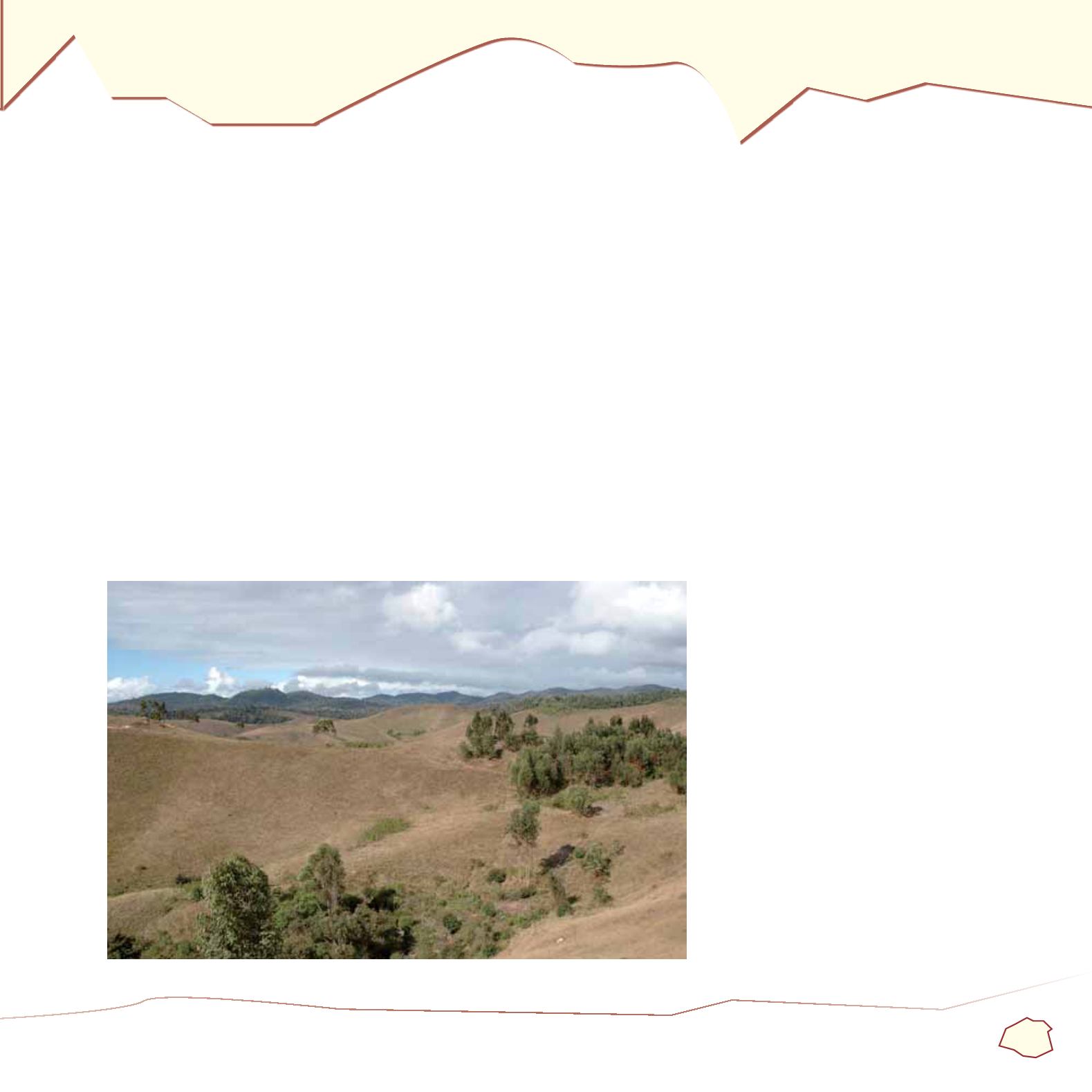
border. The landscape is characterised by grasslands, suitable for zebu
2
breeding . This is the Bezanozano area and its capital is
Moramanga. The monotony of the herbaceous landscape is broken in some places by pine and eucalyptus plantations.
Due to its topographic position, the secondary mountain range in Ambatovy-Analamay (1,100 m) is a water divide. On both sides of
this watershed the river systems flow in opposite directions.
A series of east-to-west photographs showing watershed direction from both sides
of the Mine
Western watershed


