Summary
The outfall for the effluent pipe from the tailings facility is located
approximately 8 km south of Toamasina harbour, on a straight section of
coastline without any visible rock outcrops. The sandy bottom is gently
sloping at depths exceeding 10 m. The location is in a high energy near-
shore zone with high natural levels of turbidity, strong currents, and
rough seas. The average recorded wave height was 1.4 m, but wave
heights of up to approximately 11 m can be expected for a 1:100 year
cyclone.
Existing marine
conditions
The southward flowing east Madagascar current generates an offshore
reverse current adjacent to Isle Sainte-Marie. Farther south, the east
Madagascar current generates inshore, northward-flowing reversal
currents. Toamasina lies within the convergence of these two systems.
In summer, the currents cause low-grade up-welling south of Isle Sainte-
Marie, further contributing to the turbidity in the area.
The combination of high summer rainfall, terrestrial sediments, cyclones,
and strong winter winds cause nearly year-round turbidity in the region.
The area is thus not conducive to coral reef development and the
damage caused by cyclones and rough seas adds to this stress.
Existing literature highlighting environmental indicators in the Province of
Toamasina lists major littoral reef complexes, none of which is near the
project site. Diving surveys for this EA confirmed that assessment. The
closest reef of consequence is at Isle Sainte Marie over 60 nautical miles
to the north.
Dive surveys conducted for this EA showed that the reefs around
Toamasina were fairly homogenous. They were relatively flat in profile,
probably due to rigorous conditions generated by frequent cyclonic seas
and they formed shallow fringing reefs, with the exception of Recif du
Sud, which shelved off at a depth of 5 m. Most reef profiles were only
broken by shallow gullies, forming spur and groove formations. In a few
instances, the reefs rose on the seaward side in a steep wall before
flattening out. Reefs observed were poor in terms of their biodiversity.
At Recif du Sud, the hard coral cover was poor, but it had a moderately
high cover of the soft coral genus,
Sinularia
, on the shallow reef flat; this
is typical of such wave-cut platforms. This habitat was not found
elsewhere during the survey and Recif du Sud had higher biodiversity
with some species not encountered on the other reefs investigated.
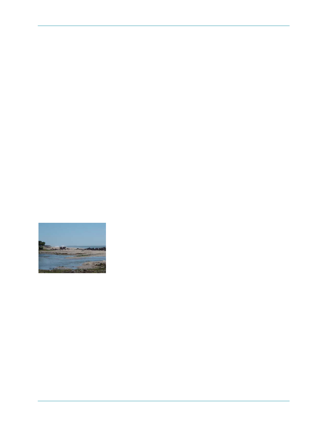
Fishermen near Toamasina
Several turtles were observed; all were believed to be Green turtles.
Marine turtles are regarded as a key indicator species in Madagascar.
Turtles are listed as Endangered by IUCN due to extreme hunting
pressure.
Dives also showed that while many of the major fish groups are
represented in the outfall area, some are more noticeable either by their
absence or poor representation. These include the snappers, emperors,
kingfishes, seabream, rockcods and rubberlips. The absence of many of
these fish may be due to high regional fishing pressure, although the
outfall location itself is not used much as a fishing ground.
January 2006
Ambatovy Project — 36


