Summary
SLURRY PIPELINE
Social Context
Twelve communes are crossed by the slurry pipeline route, which include:
Andasibe, Ambatovola, Andekaleka, Lohariandava, Fanasana, Fetraomby,
Vohitranivona, Ambalarondra, Ambinaninony, Ampasimadinika, Fanadrana
and Toamasina II. Three major land use zones were defined along the
route: the western section, which is within the Ankeniheny–Zahamena
forest corridor (corridor zone); the central section, which passes around
primary forest fragments through an area defined primarily by tavy (tavy
zone), and the eastern section, comprising mainly agricultural lands
(agricultural zone). Consultation and socioeconomic baseline data
collection took place in over 70 villages along the approximately 195 km
route. Communities were mainly accessed by foot in three surveys, one
for each zone. In general, people appear to be economically worse off
than those in the mine area. While land shortages do not apply, crops are
often lost as a result of an inability to manage water through variations in
rainfall. Due to remoteness and lack of transportation, people are often
unable to access markets to sell surplus products. There are limited
options for diversification of livelihood – employment for cash income is
generally not available and over much of the slurry pipeline route there are
few forest resources.
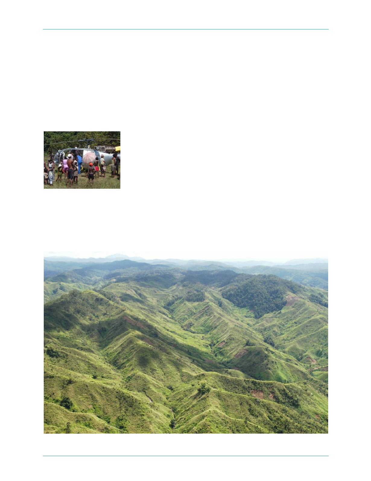
Stop during aerial survey of
pipeline route
Aerial view of slurry pipeline route in Tavy zone
January 2006
Ambatovy Project — 18


