2010
AMBATOVY SUSTAINABILITY REPORT
20
C1. Environmental Performance
3
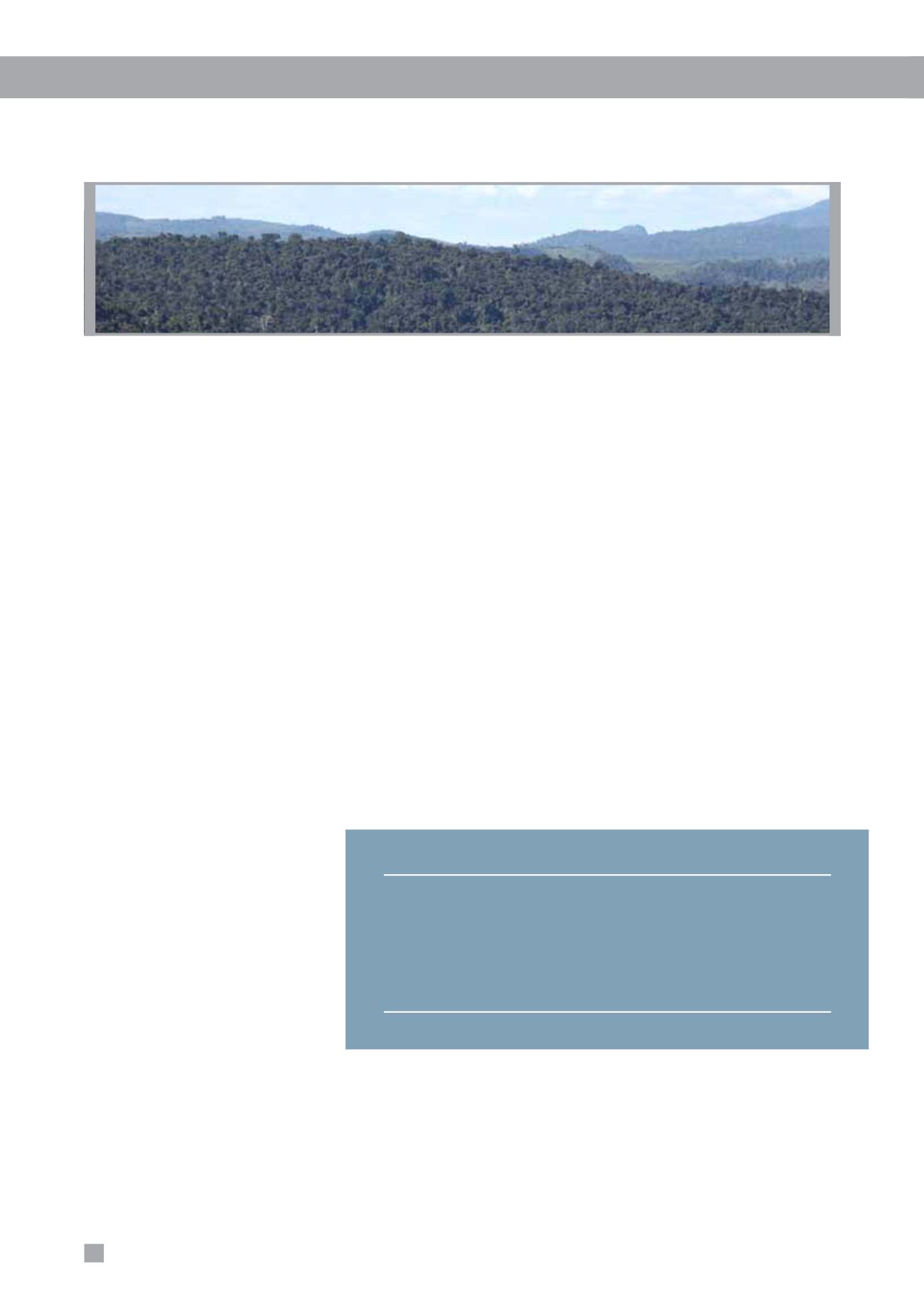
Analamay-Mantadia Forest Corridor:
Working
with environmental stakeholders, including such
leading international organizations as Conservation
International and regional and local authorities,
Ambatovy seeks to maintain as protected rainforests
the corridor between the mine area and the nearby
Mantadia National Park and Ankeniheny-Zahamena
Forest Corridor. The objective is to ensure ecological
connectivity between these key areas and to avoid
isolation of the mine conservation area. The corridor
concept has been integral to the Project’s species
management strategies, particularly for lemurs.
3
Torotorofotsy Ramsar Wetlands:
The Torotorofotsy
Wetlands lie 10 km to the east of the mine site
and covers 9,776 ha. In 2005, Torotorofotsy was
classified as a wetland of international importance
under the Ramsar Convention on Wetlands. Given
Torotorofotsy’s proximity to the mine, Ambatovy has
been working with the Government of Madagascar and
local NGOs to support the design and implementation
of a comprehensive Wetlands Management Plan. This
plan will ensure wise use of the area and conservation
of endemic fish, aquatic systems and other valuable
ecosystems. Ambatovy is currently undertaking
hydrological studies to assist with
management and restoration of
the wetlands. The site is also part
of Ambatovy’s offsets program.
Ambatovy-led surveys indicate
that the ecological integrity
of the overall area has been
severely degraded. True gains
to biodiversity will be quantified
based on analysis of survey
results. Inventories from a local
partner NGO (
Association Mitsinjo
)
have confirmed the presence of a
population of the Greater Bamboo
Lemur,
Prolemur simus
(CR),
utilizing the edge habitat of these
unique wetlands and toward Mantadia National Park.
These findings have increased the known range and
population size for this critically endangered species.
3
The Ankerana Offset Area:
The Ankerana offset
site, equidistant between the mine and Toamasina,
is a large, mountainous dome covered with primary
forest, encroached upon by slash-and-burn agriculture
in surrounding valleys where frontier dwellings exist.
The Ankerana offset site has a total surface area
of approximately 6,800 ha. The site is a recognized
sub-unit of the CAZ. Ambatovy has committed to
ensuring the conservation of the Ankerana site under
the terms of the Ambatovy BMP. Ambatovy is currently
supporting management of the site and working with
the Ministry of Environment and Forests, which has
legal responsibility for the management of the CAZ.
A long-term strategy for management of Ankerana is
under development.
Anticipated Impacts
The main anticipated residual impacts on biodiversity
caused by the Project will occur at the mine site due to forest
clearance (approximately 1,800 ha) and along a two kilometre
strip of forest at the initial portion of the pipeline. Stringent
impact avoidance and minimization strategies were developed
in the design phase of the Project. Before protection by the
Project, much of the forest around the mine was threatened
by clearance for agriculture, illicit timber harvesting and
hunting. These activities are now effectively controlled through
cooperation between Ambatovy, local communities and the
Ministry of Environment and Forests.
The plant site and tailings are located on coastal industrial
land or nearby scrubland. The plant is expected to occupy
more than 320 ha, while the tailings area is expected to
be approximately 750 ha. Although there is not the same
heightened concern for unique habitat in these locations
as in the highland forest areas, proper care is still taken for
responsible use and later reclamation of land.
Table 1: Net Impact of Mining Activities on Forested Areas
Forest/Land Areas
Land to be
Land to be
Land to be
Impacted (ha)
Reclaimed (ha)
Conserved (ha)
Mine footprint
1,800
1,800
0
Slurry pipeline (estimated)
600
500
0
Roads/Infrastructure
100
0
0
Mine conservation forest
0
0
4,900
On-site offsets
0
0
300
Ankerana offset (BBOP area)
0
0
6,800
Subtotals
2,500
2,400
12,000
Net gain
11,900


